
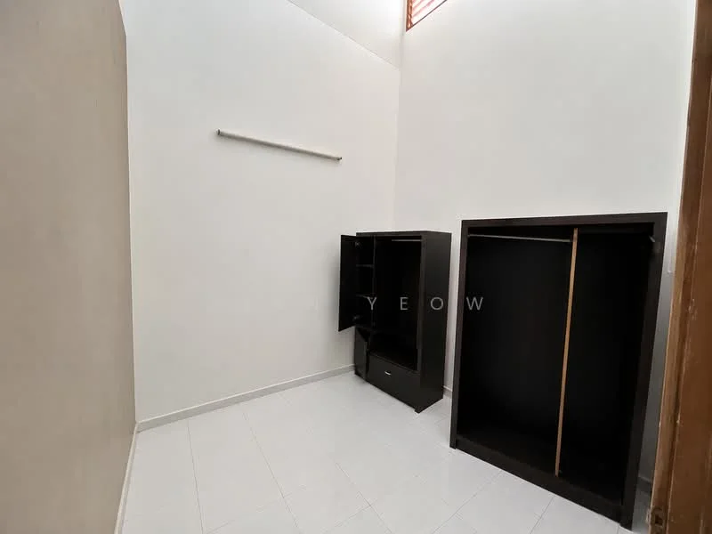
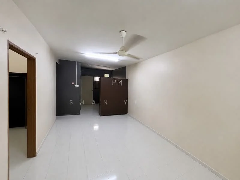
Taman Intan Cempaka, Batu Kawanfor Rent
1 of 5
Price
RM1,000
Bedroom

3
Bathroom

2
Room type
Whole unit
Built-up
1,000 sqft
Get the latest offer for this unit
Home details
Type
Terrace
Room type
Whole unit
Furnishing
Unfurnished
Built-up size
1,000 sqft
Nearby points of interest
Rental market intelligence
19 nearby rentalsThis listing
RM 1.00 psf/month
RM 1,000/month ÷ 1,000 sqft
74%
of rentals within 3km ask more
19 comparable terrace rentals across 8 nearby buildings within 3km
RM 1.40 psf/month
Area median
-28.6%this listing vs area
RM 1.00
RM 1.57
Lower quartile
Upper quartile
Asking rents from whole-unit listings on MyRumahBaru, not transacted rents. Furnishing and lease terms vary between listings.
Crime intelligence
LowIPD Seberang Perai Selatan · 2023
Total crimes (2023)
335
convictions
vs. Pulau Pinang avg
−52%
below state median
Most common
Theft other
29% of total
Density — crimes per 100k residents
178
per 100k · population ~188,000
This district
178
Pulau Pinang median
370
Coverage area
Nibong Tebal, Simpang Ampat, Sungai Bakap, Bukit Tambun
IPD boundaries do not correspond to neighbourhood or administrative boundaries
Crimes by category (2023 convictions)
Theft other
97
Break in
96
Theft vehicle motorcycle
48
Causing injury
32
Rape
21
Annual trend (IPD Seberang Perai Selatan)
460
2019
304
2020
332
2021
314
2022
335
2023
Conviction-based data from PDRM — not reported incidents. Unreported crimes may not be reflected. Police district boundaries differ from administrative mukim boundaries.
Source: Royal Malaysian Police (PDRM) via data.gov.my · CC BY 4.0
Flood risk
Moderate riskTwo methods combined — river (fluvial) flooding from Sungai Jawi, the closest river, and heavy-rain (pluvial) flash flooding from the surrounding terrain and rainfall. The badge above is the higher of the two.
River (fluvial)
Moderate
Heavy rain (pluvial)
Low
Moderate flood risk to this building
Sungai Jawi shows moderate flood activity, but the building ground sits ≈41 m above it. River flooding could reach this building in an extreme event — Sungai Jawi would need to rise about 14 floors.
Covers river flooding only — flash floods from heavy rain or blocked drains can still affect higher ground. Elevations are approximate (~90 m resolution).
River discharge — water flowing through Sungai Jawi, not the building · activity moderate
Current discharge
9.7 m³/s
Elevated
Mean discharge
5.5 m³/s
30-day average
Max discharge
19.3 m³/s
30-day peak
Height above sea level
This building
≈41 m
Sungai Jawi
590 m away
≈0 m
Building sits ≈41 m above Sungai Jawi
Sungai Jawi overflow history — when the river flooded, not the building
River last flooded
No recent floods
Past 2 years
River floods
None recorded
Past 2 years
Monthly river flood risk
Jan
Feb
Mar
Apr
May
Jun
Jul
Aug
Sep
Oct
Nov
Dec
Low
Moderate
High (monsoon)
DID InfoBanjir tracks water levels in real time. Set up alerts at publicinfobanjir.water.gov.my
Source: Jabatan Pengairan dan Saliran (DID) Malaysia · Open-Meteo